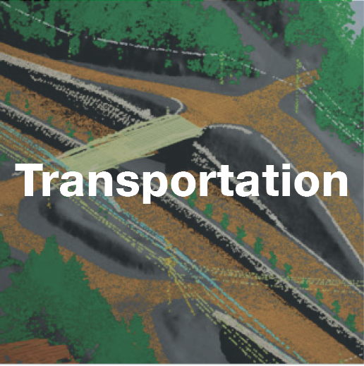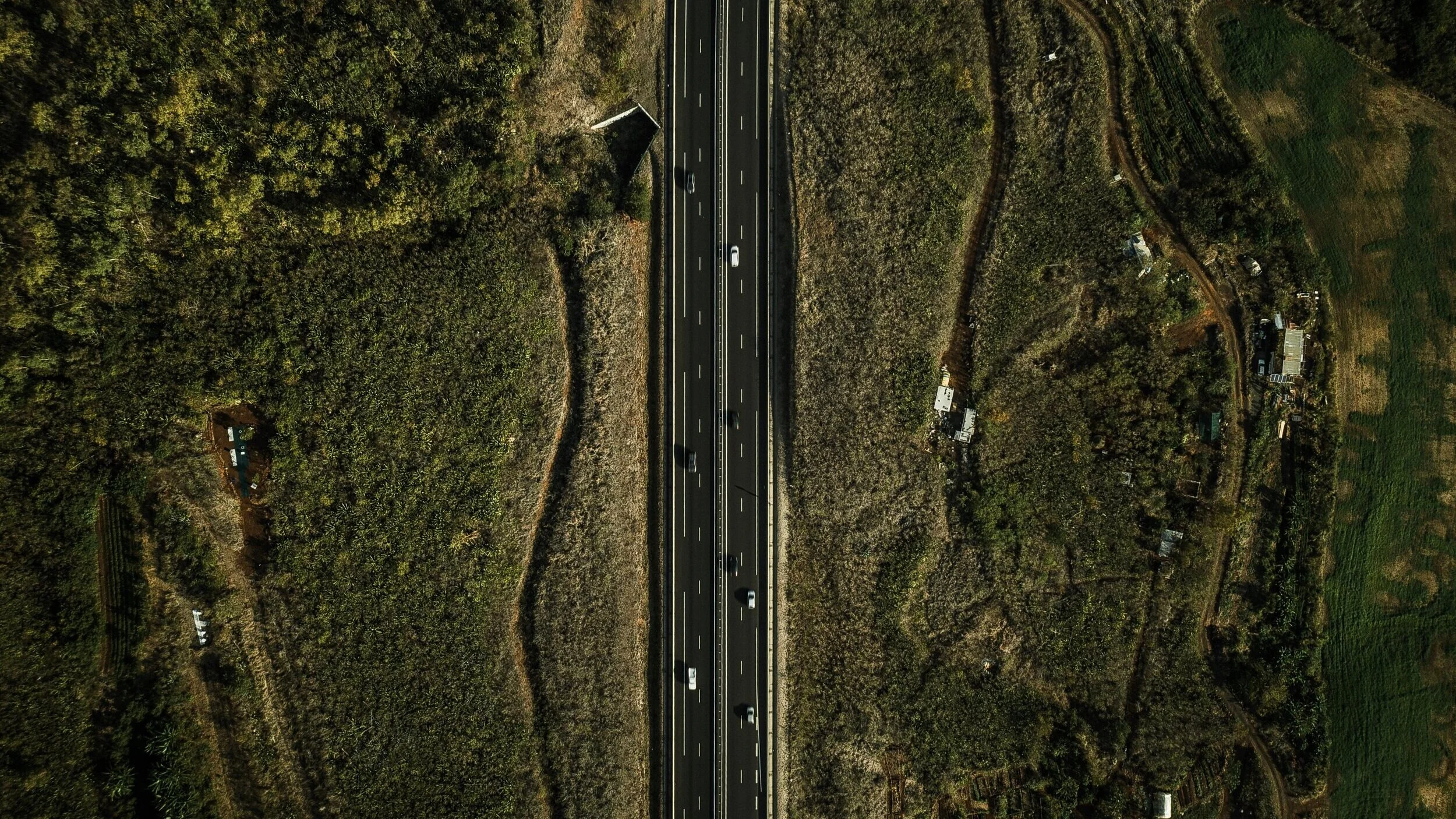
Roadways

Terra Remote’s aerial LiDAR and software applications support roadway design in multiple ways.
Critical terrain features can be extracted enforced by breaklines from high-density LiDAR datasets to produce low-volume and accurate surface models.
From aerial photography, supplemental vectors can be derived that feature delineation, such as paint lines, edges of pavement, curb offsets and building footprints, etc.
Data is integrated seamlessly into a single topologically correct package compatible with any standard CAD/GIS software, such as AutoCAD, Civil3D, ArcGIS, CAiCE, Softree and ISTRAM.
Rail Right of Ways

Rail right-of-way managers need timely information on vegetation encroachment, building proximity, adjacent land use classifications and track and ballast elevations to ensure safe and efficient rail operation and planning.
In addition to detailed feature extraction, Terra’s aerial LiDAR and software applications support:
Detailed digital terrain and surface models (DSM, DEM)
3-D simulations for emergency management and planning
Geotechnical slope stability studies
Flood hazard mapping
Vegetation growth and encroachment modeling