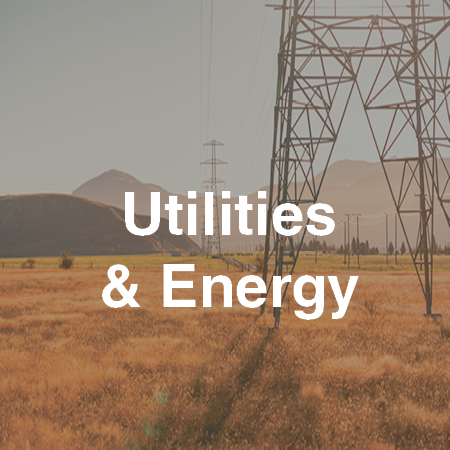
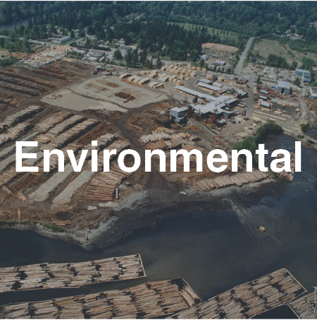
Electric Transmission

Terra performs aerial LiDAR surveys to obtain comprehensive and highly classified data that optimizes transmission route selection, increases project efficiency and minimizes costs and risks for:
Line Route Planning
Existing Wire Locations and Points of Attachment
Vegetation Management
Infrastructure Improvement
Re-Rating Studies
Terra creates highly detailed and spatially precise 3D snapshots of transmission line corridor conditions with data specifically formatted for direct use into PLS-CADD modeling.
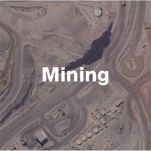
Oil and Gas Exploration

Terra collects and integrates airborne LiDAR data, digital imagery and hyperspectral data to support oil and gas exploration, development, decommissioning, and monitoring projects.
LiDAR’s ability to penetrate through vegetation to the earth’s surface makes it a powerful tool for oil and gas deposit exploration. Integrated airborne LiDAR and digital imagery can be used for planning and designing infrastructure related to oil and gas extraction and processing, such as electrical transmission lines, pipelines, and ports. As project sites are often in remote areas, Terra’s extensive field and safety planning ensures efficient and high quality data collection without compromising safety or environmental performance.
LiDAR data is used to create high-resolution bare earth Digital Elevation Models (DEMs) to locate structural characteristics of oil and gas deposits and assess regional geomorphology and temporal deposition patterns.
Energy Generation

Terra has supported data acquisition for a range of energy sector exploration, design, construction and maintenance projects.
Terra’s airborne LiDAR and digital imagery helps optimize greenfield location, turbine placement, tower elevation, slope studies, visualizations, electrical transmission connection, and transportation access.
Airborne LiDAR also provides 3D-georeferenced input data to simulate the dynamics of obstructions that may influence local turbulence, such as trees, buildings, and fences. Terra’s data provides detailed, up-front survey data that supports follow-on development and approval processes, such as infrastructure planning, environmental impact assessments and permit applications.
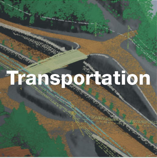
Pipelines

Terra collects specific data directly relating to the pipeline itself as well as surrounding features of concern for pipeline corridor operations, including building height, volume, occupancy, adjacent land-use classification, environmental sensitivity and hazard assessments. Our digital map products from LiDAR, hyperspectral, thermal and orthophotographic data support:
Pipeline Assessment
Route Planning
Construction Projects
Digital Elevation Models (DEMs), feature-coded LiDAR, and digital orthomosaics are invaluable tools for proposed pipeline construction project evaluations, including geomorphological studies and environmental impact assessments.