Going Where You Need

Utilities & Energy
Terra’s transmission corridor mapping solutions enable timely and efficient assessment and management tools to existing lines and corridors, as well as planning and constructing new infrastructure. Our experience with dynamic dynamic environments includes conquering the challenges posed by any terrain to operational safety, security and reliability for new and existing line routes.
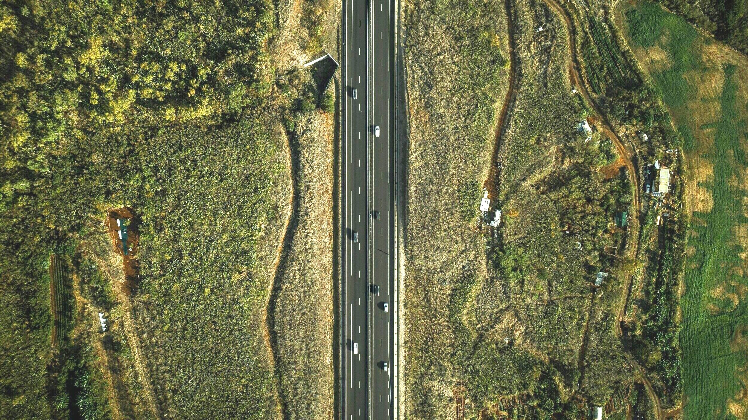
Transportation
Aerial surveys for roadway design and rail right of ways more accurately, efficiently, and cost effectively support transportation infrastructure planning, design and construction than traditional ground surveys. Terra extracts essential data from LiDAR’s multi-million point clouds to create highly detailed and accurate feature datasets readable by transportation and engineering software.

Marine
Terra’s ability to fuse terrestrial LiDAR with submarine mapping data enables seamless projects through terrestrial and marine environments. We create comprehensive datasets that address corridor topography and oceanography, marine activity/transport, where in designated or sensitive areas, and regardless of seafloor geology, geohazards and seafloor sediment types.

Mining
Terra’s LiDAR, hyperspectral and digital imaging data provide highly accurate and timely information to maximize the significant investments of energy and capital in highly complex mining operations. With a clear understanding of what is in the ground, where it is, and in what quantity, mine operators can make timely decisions and comply with stringent environmental and safety regulations.

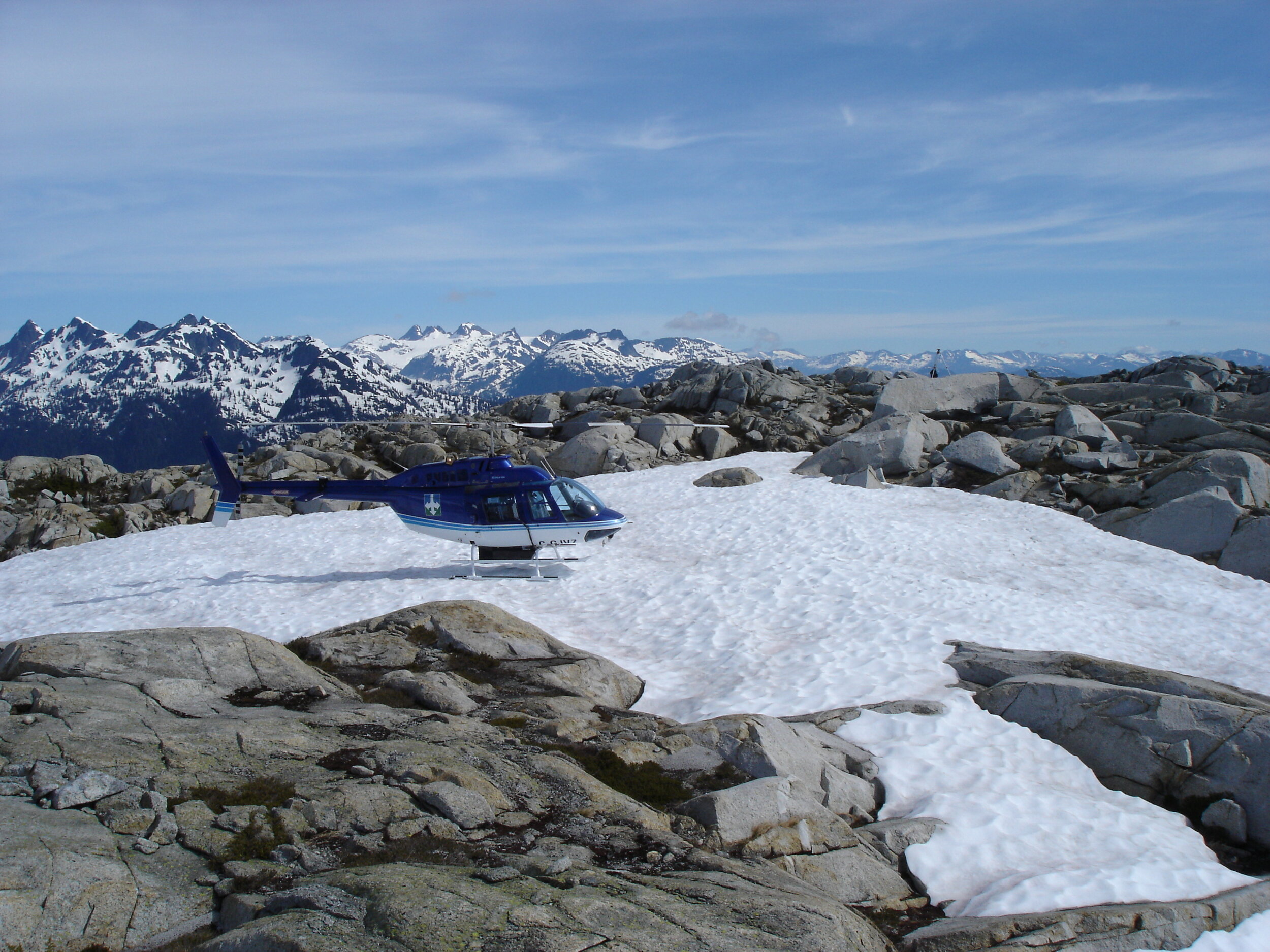
Environmental
Terra delivers better data to enable a more informed response to environments that range from urban core to offshore, to deep forests or glacial areas. Clients use our data to assess existing conditions, map and monitor change. Terra data is used to detect, prepare for and deal with the impacts of new construction, natural disasters or changes to environmental resources.
“...we recognize the value in building on our relationship with TRSI, and they continue to provide high quality, consistent data that will enhance our business going forward.”