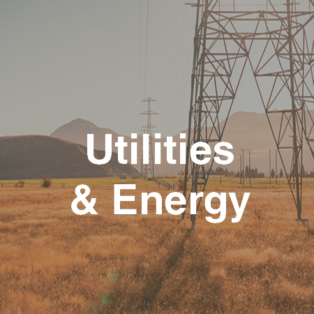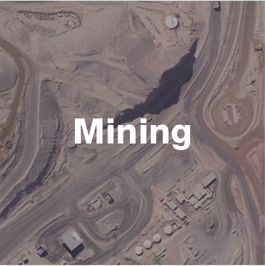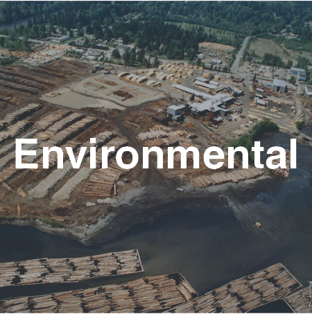
Site Assessment

Multi-sensor, high-resolution surveys are powerful site assessment tools. Terra’s datasets can be used for site operations, environmental monitoring, and reclamation programs, as well as to generate accurate geospatial and topography models for assessing infrastructure, health of native vegetation or reclaimed lands, and potential areas of off-site migration of contaminants.
Remote sensing is particularly effective for industrial site surveys, especially those with several hazards and large footprints, as it enables site-specific analysis and planning while reducing risks to field survey workers and local residents.
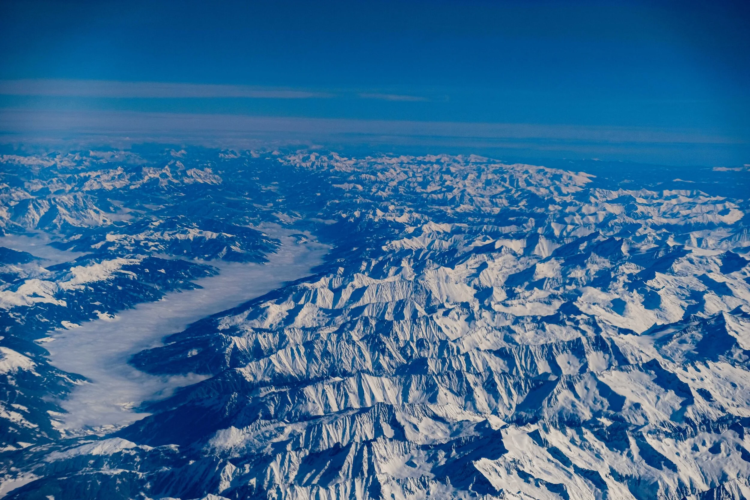
Glacier Mapping

Mapping glaciers with technology like airborne LiDAR and digital imagery helps scientists better understand and keep pace with glacial characteristics.
Terra has mapped glaciers in both the northern and southern hemispheres, safely overcoming the inherent natural challenges of carrying out aircraft operations above 5,000 m/16,400 ft in rugged terrain, high winds, and dynamic weather conditions, as well as the technical challenges of capturing reliable LiDAR pulse returns from icy and snowy environments.
Disaster Relief

Terra’s timely disaster response surveys provide spatial information to assess damage, document effects, and support immediate relief efforts along with repairs, reconstruction and longer-term mitigation to reduce risks from natural events.
Hyperspectral data can be especially effective at identifying potential or active contaminant problems or spills on ground or water surfaces, and can also be used to assess the progress and effectiveness of mitigation and cleanup efforts following environmental incidents.
Watershed Surveys

Terra’s LiDAR data supports both large and small-scale watershed assessment projects, which informs better planning to reduce and mitigate the risks and impacts of human settlement.
Flood Hazard and Risk Assessment
Coastal Inundation Modeling
Environmental Assessment
Contamination and Fate Analysis
Climate Change Adaptation
On-site stormwater management projects using Low Impact Development (LID)
Vegetation Mapping

Understanding and estimating vegetation mass and productivity has become increasingly important, especially with advancements in environmental economic valuation.
High-resolution LiDAR and hyperspectral fusion provide an unmatched depth of data that researchers can use for a range of urban and environmental planning, assessment, monitoring, and management activities, including:
Climate change adaptation planning
Vegetation species identification
Vegetation health assessments
Growth models
Valuation studies
Enhanced forest inventories (EFI)
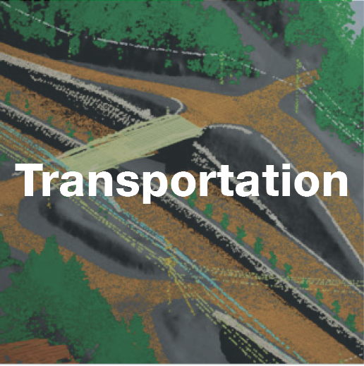
Corridor assessment