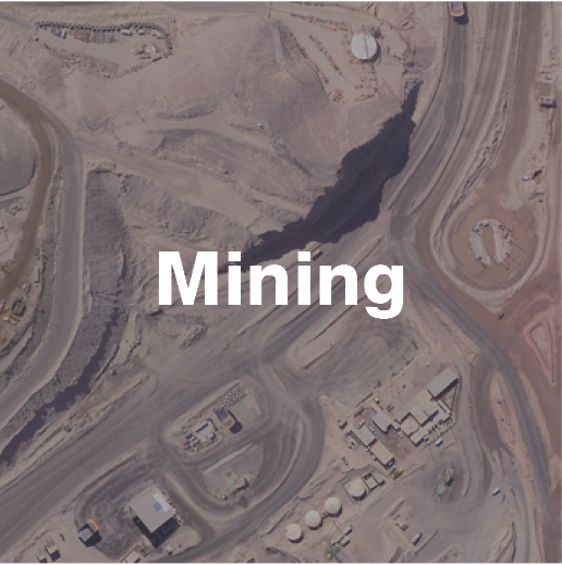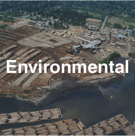
Mineral Exploration Support

Aerial LiDAR, digital imaging and hyperspectral surveys support multiple aspects of mineral exploration projects.
Airborne LiDAR can efficiently cover large and remote areas to assess regional geomorphology and effectively penetrate vegetation to generate bare earth models, identifying surficial expressions of geological zones that are not visible in traditional photography.
Detailed topographic data obtained by LiDAR surveys can also help guide ground-based exploration projects, making them more efficient and decreasing environmental impact risks.
Active Mine Operations
Planning & Development
Terra provides LiDAR data and orthophotography to efficiently provide detailed and timely topographical information in formats compatible with specifically formatted to generate planning models used for detailed new mine and expansion projects. Optimizing infrastructure design with high-quality geospatial data yields successful new operations.
Terra provides LiDAR data for designing new or upgraded infrastructure to bring electricity and water to mining operations. LiDAR and GIS data collected from Terra’s integrated sensor array also informs transportation route and pipeline designs and upgrades.
Mine Reclamation

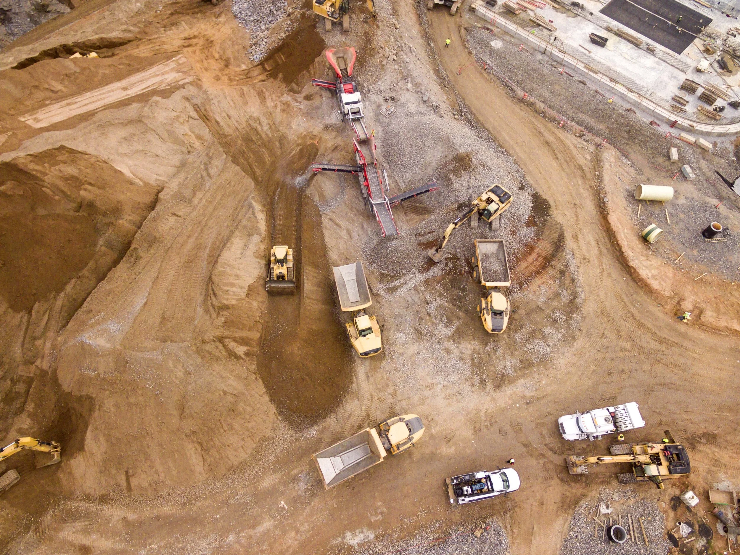
Active mine operations rely on airborne digital surveying and mapping data for effective monitoring. Terra is highly experienced in carefully planning and coordinating survey activities with mine operators to safely collect accurate data and minimize impacts on day-to-day work at active mine sites, such as drilling and blasting.
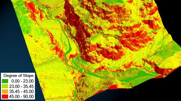
Terra uses airborne LiDAR-derived digital elevation models compatible with ArcGIS, Isatis and Vulcan software for slope stability and geohazard studies of haul roads, tailings piles, benches and pit walls.

Terra provides LiDAR, hyperspectral and digital orthophotos to support mine reclamation efforts following mine closures.
Our services include vegetation mapping with detailed physical and chemical characteristics for accurate mine reclamation program monitoring, site decommissioning and remediation.