About Us


-
Leadership
Rick Quinn | Board Chairman, Terra Remote Sensing
Dave Neufeldt | President, Terra Remote Sensing
Bryan Hosford | President, Terra USA
Ted Roesch | Director, R&D Manager
David Mostyn | Vice President, Strategic Corporate Development
Taylor Davis | Vice President, Business Development
-
Key Personnel
Dean Johnson | Manager, Marine
Chris Aldridge | Project Manager
Kel Kopeck | Project Manager
Ryan Canning | Sr. Project Manager
Robert Davis | Project Manager
-
Corporate communication of Senior Staff Updates
Office Locations

Canada
Terra Remote Sensing is headquartered in Sidney, British Columbia. The Canada team supports company management and administration and aerial and marine mapping services.
Terra’s Airborne LiDAR division provides services in the transportation, forestry, engineering, environmental and utility sectors. Our Canadian office is home to the production center that processes data for North American projects.
Key clients include federal, regional, and provincial agencies, ports, First Nations, forestry companies, electrical utilities, pipeline companies and engineering and environmental consulting partners.
Office Leadership
Dave Neufeldt, P.Eng. | President
Our Story
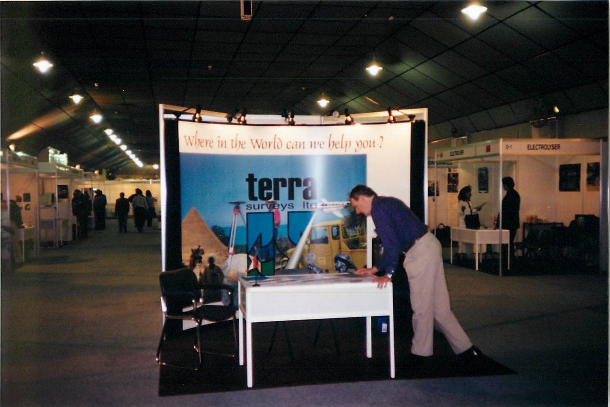
The origins of our company go back to the summer of 1981, when a small office began in Sidney as the West Coast office of Geoterrex and Terra Surveys Ltd, an employee-owned company with headquarters in Ottawa Ontario. The company carried out aerial, land and marine geophysics, as well as photogrammetric topography, hydrographic surveys and charting. Our company still retains the original Terra logo that was created in 1986.
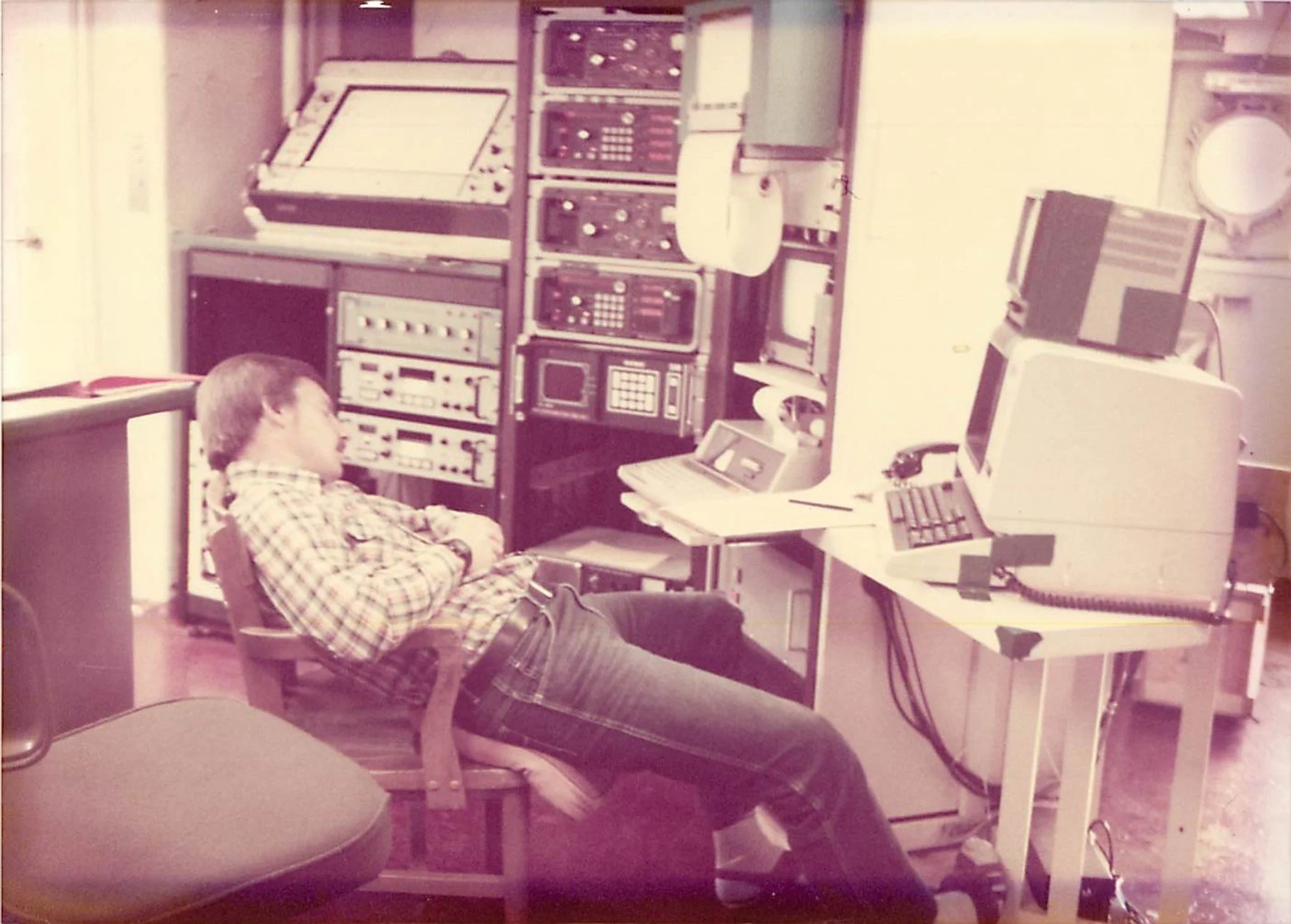
In 1984, Terra Surveys in Ottawa was contracted by the Canadian Hydrographic Service (CHS) and the Canadian Centre for Remote Sensing (CCRS) to test and operate the first prototype LiDAR bathymetric system. Jim Vosburgh a senior hydrographer with Terra, who had been a seasoned hydrographer and instructor with CHS, took on the lead role to direct and manage the aerial bathymetry program. That same year, Jim and the Terra team flew a large project in Cambridge Bay, the data produced became the first known hydrographic chart for the government of Canada, using aerial LiDAR bathymetry data.
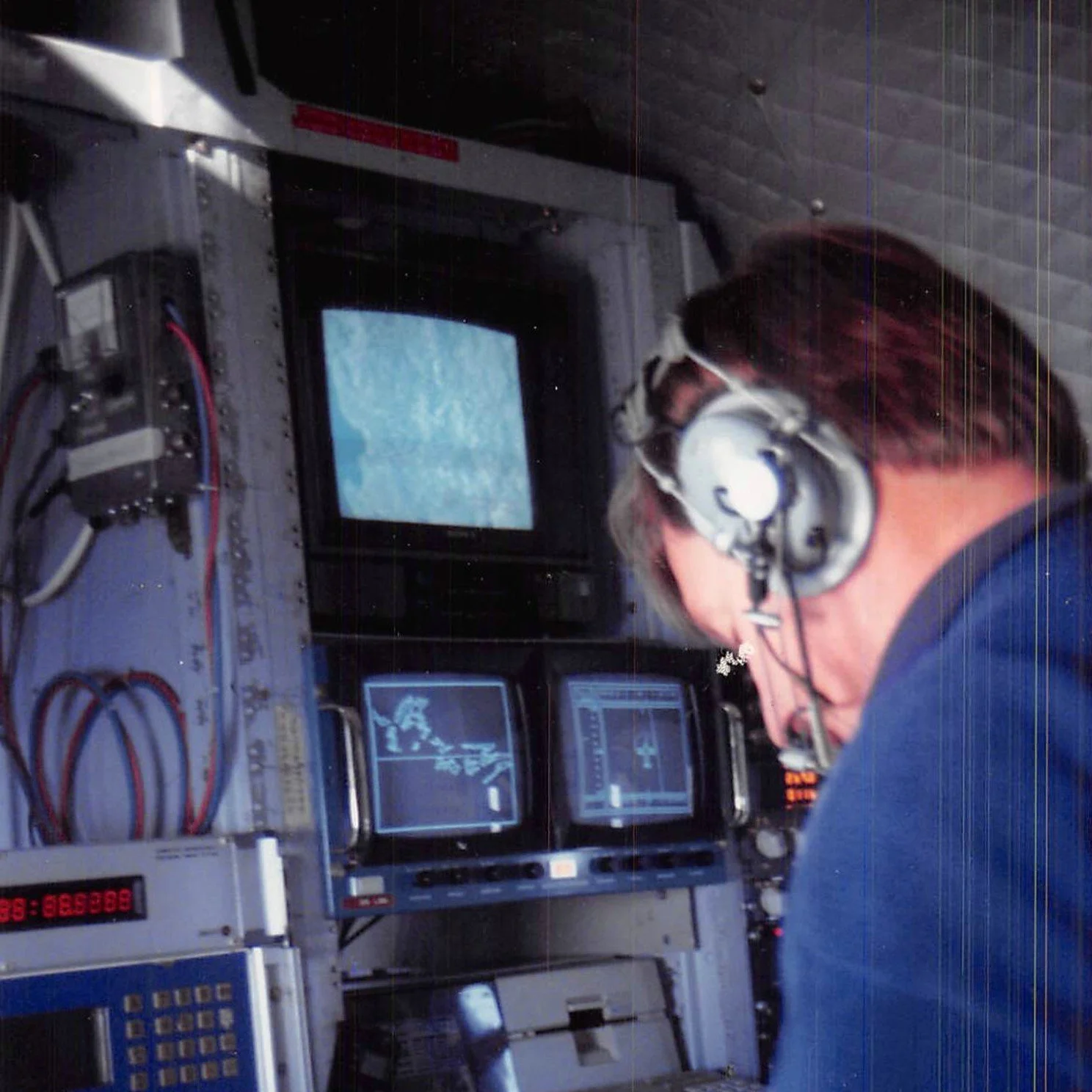
Terra Remote Sensing went on to successfully operate the innovative LiDAR bathymetry system, nationally and internationally. In 1999 Terra Surveys Limited’s west coast office transitioned to Terra Remote Sensing Inc. It remains an employee-owned and operated company and has grown from about a dozen employees initially to about 85 employees. With offices in the USA and Latin America, Terra has worked in more than 20 countries.
In 2001, Terra focused its aerial capabilities on land applications rather than only bathymetry surveys. Terra is one of only a few firms in North America with a long history of both marine and aerial survey capability. Many of the early bathymetric LiDAR team are still active employees in our company. It is the combination of decades of experience as well as fresh contributions from our newer employees that helps Terra delivery its services to our clients. Terra currently conducts a variety of marine acoustic surveys as well as multiple aerial LiDAR remote sensing systems. Our company has worked internationally for many decades with a large variety of clients and continues to grow and seek new opportunities, markets and technology.
-- Rick Quinn, Founder
Terra Remote Company Values
Why do we exist? To deliver innovative worldwide mapping solutions by employing passionate people who embrace technology.
How do we behave? We behave reliably and ethically, as an inspired team.
What do we do? We employ multi-sensor technologies to map terrestrial and marine environments globally.
How will we succeed? By committing to:
Exemplary customer service and long-term relationships
Technological innovation, leadership and industry engagement
Risk-based market diversification
Employee welfare and professional development

““Our relationship has seen an increase each year in technology advances, services and efficiency.””
USA
Terra’s USA operations are based in Washington state, with staff in the Pacific Northwest. Terra USA operates as a U.S. Corporation registered in the state of Washington.
Terra USA supports business development for the American market and provides airborne LiDAR acquisition and geospatial data processing primarily for the utility, transportation and engineering sectors, specializing in electric transmission, distribution and corridor mapping.
Key clients include electric utilities, engineering and environmental consulting companies and state agencies.
Office Leadership
Bryan Hosford | President, Terra USA
Open Positions
To learn more about positions available at Terra Remote, go to the Careers section of our website.