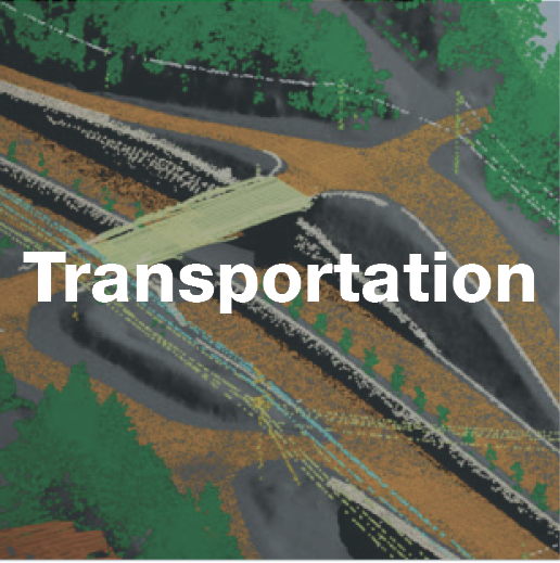
Cable Routes

Terra’s geophysical and hydrographic surveys, sub-sea video imagery, engineering data and proposed corridor desktop studies support route planning and development, real-time cable positioning, and surface and sub-surface cable detection of high voltage power and fiber optic submarine cables.
Cable positioning can be challenging in confined landfall approaches where conventional GPS signal is lost. Terra integrates land-based, laser range-bearing equipment with in-house navigation software to allow real-time, visual positioning of vessels, cable floats and divers.
Underwater Mining
Pipeline Routing

Terra’s survey methods deliver precise positioning data of potentially hazardous or suboptimal seabed conditions. Data collected enable 3D modeling and an inventory of sub-surface geology to maximize knowledge of the existing conditions.
Comprehensive, site-specific desktop analysis of existing historical data sets and studies creates a better understanding of past and present conditions of proposed pipeline routes. Engineers can then determine seafloor corridor suitability, plan future route delineation surveys and verify pipe positions and optimal bend radii are achieved.
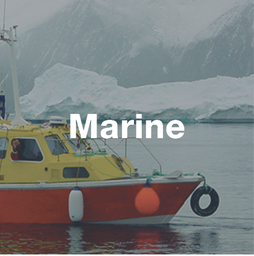
Marine Ecosystems

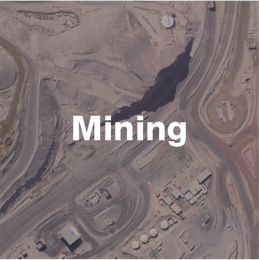
Terra provides bathymetric and geophysical surveys for multiple aspects of the mining and exploration industry, including:
Mine tailings and waste rock disposal
Inspection of tailings ponds, dams and delivery systems
(outfall pipes)Lakebed, seafloor and riverbed assessments
Placer and bedrock exploration
Construction

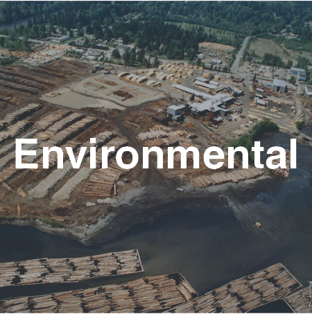
Understanding and addressing the effects of global climate change in marine environments and ecosystems requires more comprehensive monitoring and data collection.
Terra’s capabilities in proven technologies can provide invaluable information in support of coastal ecosystem assessment and can help guide sustainable resource management.

Terra’s survey capabilities support a wide range of marine construction projects, including:
Construction site geologic conditions mapping (surface and sub-surface)
Site monitoring and support
Bedrock and foundation studies
Pre and post-dredge volumetric and site clearance surveys
Monitoring seafloor material removal and fill placement operations
Piling predictions and anchor holding capacity